
GIS Surveying & Mapping.
WE ARE COMMITTED TO PROVIDING OUR CUSTOMERS WITH EXCEPTIONAL SERVICE WHILE OFFERING OUR EMPLOYEES THE BEST TRAINING.
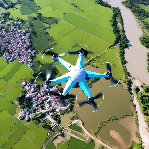
In land surveying and cadastral mapping endeavors, UAVs play a paramount role in conducting high-resolution aerial surveys, topographic mapping, and cadastral boundary delineation, providing stakeholders with comprehensive spatial datasets for land management and development purposes. Additionally, UAVs facilitate the rapid acquisition of georeferenced imagery and LiDAR data, enabling the creation of detailed digital elevation models (DEMs) and 3D terrain visualizations for engineering and urban planning projects..
- Aerial Surveys and Topographic Mapping.
- Cadastral Mapping and Boundary Delineation.
- Environmental Monitoring and Habitat Mapping.
SINCE
2022
2022